Ridenjoy is an active-mobility lifestyle app and a grant recipient of Sport Singapore’s Blended programme, utilising the Singapore Land Authority’s OneMap. This app is a grant recipient of Sport Singapore’s Blended program.
Plans a route via park connectors and cycling paths
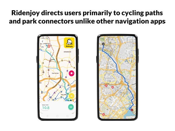
The app allows users to plan a route from A to B using primarily park connectors and cycling paths; in this way, it differs from other navigation and cycling apps in Singapore.
Following its first media coverage on The Straits Times, the app has shot to No. 1 in Singapore in the apple and google app stores for lifestyle and navigation categories.
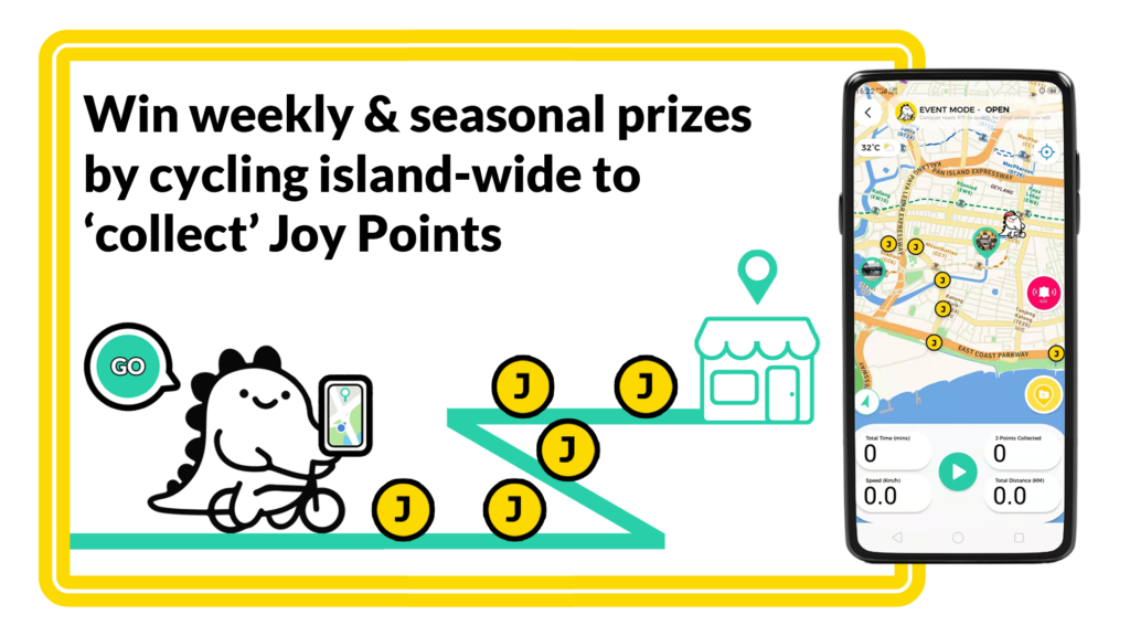
Ridenjoy’s beta campaign began on Saturday 11 December with the RiDEnjoySG, a gratified cycling challenge where uses can go islandwide on park connectors and cycling paths to collect geo-located Joy points. 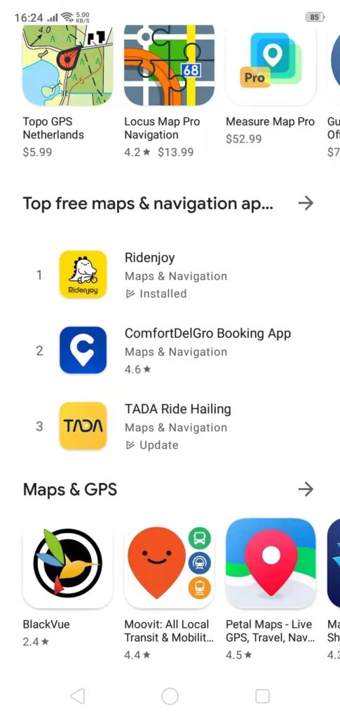
The 13-week campaign lasts till 1 March as users climb up the leaderboard, with 10 different ways to win prizes.
Embraced by the cycling community
Said Kelvin Phang, 50, Chief Joy Officer, “We would like to thank everyone in the cycling community for embracing us and this proves that there are significant numbers of cyclists who want to navigate around the island without using busy roads.”
He added, “We are glad that many understands that Ridenjoy’s user-powered map will only get better with more users and more inputs.”
Features of the app
Another feature of Ridejoy is an emergency hot button that calls 995 with two simple taps, sounding off a local alarm alerting other nearby cyclists.
As well, with the app’s photo reporting button, users can report otters sightings, warn fellow users of wild dogs or seek help in any way they wish. 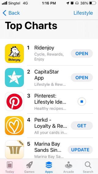
The Key Information for Cyclists feature can also help locate the nearest bike repair shop or kiosk for those cyclists who are having mechanical issues. And those in need of a rest stop can locate the nearest bike park lots, water coolers or other amenities nearby.
Routes are guaranteed to be safe and scenic
Said Kelvin, “The routes recommended by Ridenjoy will usually be the safest and most scenic.
However the routes may not be the shortest and fastest way to the destination, as the app will avoid utilising public roads.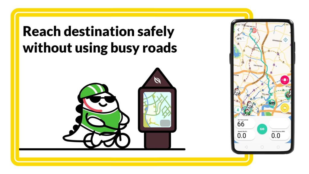
He added, “Most users also understand that the park connector networks and islandwide cycling networks are still rapidly expanding and in years to come, the island will get more interconnected. The great thing about OneMap is that the park connectors and networks are marked in green and blue, so you can plot your own routes and maximise their usage without going on busy public roads.”
photos credit: ridenjoy

Dear Sir
Why the app always show me an OPPOSITE DIRECTION NAVIGATION? that means the route I am taking is always the opposite to that shown on the app.
Please explain. Thank you